

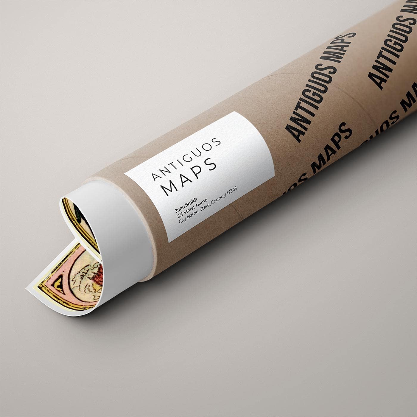
Old World Map of Africa | Africae nova descriptio by Willem Janszoon Blaeu circa 1630 | Art Print Poster Vintage Wall Decor (PolyPro Paper, 18 x 24 inches)
Product details
| Management number | 217939417 | Release Date | 2026/05/03 | List Price | US$8.79 | Model Number | 217939417 | ||
|---|---|---|---|---|---|---|---|---|---|
| Category | |||||||||
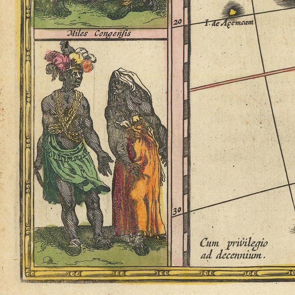
Africae nova descriptio by Willem Janszoon Blaeu circa 1630 This is a map of Africa created by Willem Blaeu in 1635. It shows the continent and surrounding areas with detailed coastlines, rivers, mountain ranges, and cities.Africae nova descriptio by Willem Janszoon Blaeu circa 1630 Expertly Sized | Fits into economical standard frames Made in USA | Giclee reprint made in the USA Quality Materials | Pigment inks on PolyPro Paper Packaged with Care | Shipped promptly in a heavy gauge tube This is a map of Africa created by Willem Blaeu in 1635. It shows the continent and surrounding areas with detailed coastlines, rivers, mountain ranges, and cities. Geographical features: The map depicts Africa, parts of the Arabian Peninsula, and southern Europe. It labels major regions such as Libya Interior, Aethiopia, and areas corresponding to modern-day countries. Illustrations: The map is adorned with illustrations of people in traditional attire, animals, ships, and sea monsters, reflecting the cartographer's understanding of the region's inhabitants and wildlife. Text and labels: Place names, geographical features, and regions are labeled in Latin. The title "Africa nova descriptio" indicates a new description of Africa. Decorative elements: The map includes a compass rose, latitude and longitude lines, and decorative borders, which were common in maps of this period. Surrounding vignettes: The map is framed by vignettes showing cities and landscapes, providing additional context about the regions depicted. This map is a typical example of 17th-century cartography, blending geographical accuracy with artistic embellishments and reflecting the knowledge and perceptions of the time.
- Old World Map of Africa | Africae nova descriptio
- Expertly Sized | Fits into economical standard frames
- Made in USA | Giclee reprint made in the USA
- Quality Materials | Pigment inks on PolyPro Paper
- Packaged with Care | Shipped promptly in a heavy gauge tube
| Color | Multicolored |
|---|---|
| Map Type | Physical |
| Brand Name | Antiguos Maps |
| Paper Size | 18 x 24 Inches |
| Manufacturer | Antiguos Maps |
| Paper Finish | Satin |
| Item Dimensions L x W | 18"L x 24"W |


Bestseller ranking
Puller Sets


Customers who viewed this product also viewed
Maps


Correction of product information
If you notice any omissions or errors in the product information on this page, please use the correction request form below.
Correction Request Form